Available courses

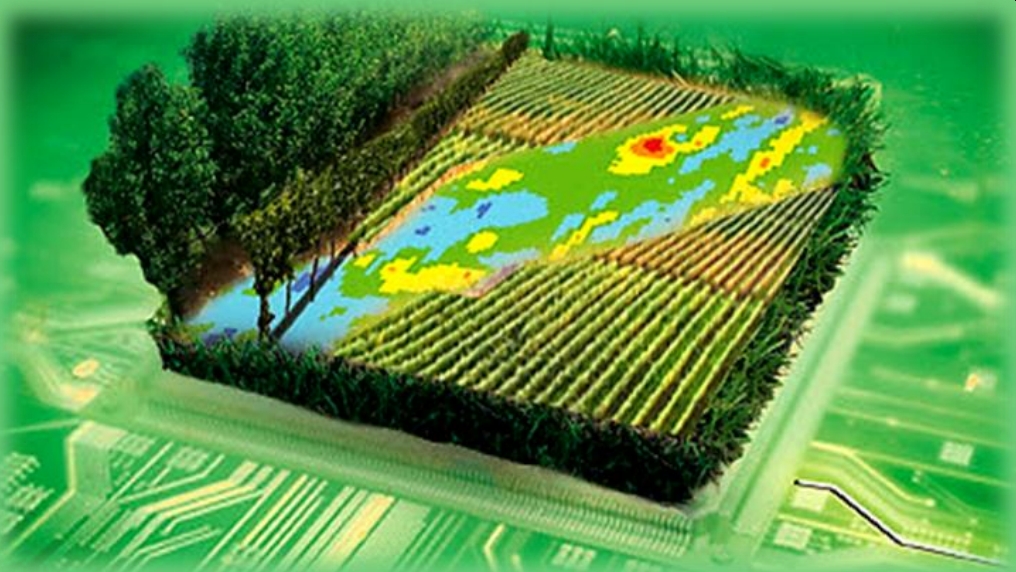
The aim of this course is to introduce students to the basic concepts of Earth Observation and Remote Sensing, including data acquisition systems and processing methodologies. The emphasis is put on mapping and monitoring applications on agricultural landscapes.

The main topics of knowledge to be covered by the course are five:

1) Remote Sensing (RS) with active & passive instrumentation
2) Earth observation (EO) data & acquisition systems
3) Multi-temporal data analysis & classification/mapping pipelines
4) EO & RS for vegetation mapping
5) EO & RS for agricultural monitoring 

The course includes lectures, labworks, and seminar/projects The students will be monitored and their progress will be evaluated, while they will work on exercises. In regards to the practical implementation, projects and exercises, will focus on monitoring and mapping of agricultural landscapes.

This is a test course to BTC training in Laos to present how to create a course and upload course materials to Moodle.

The course introduces basic concepts of global warming and climate change (CC) emphasizing on their environmental and socio-economic impacts. Issues of food security, resilient and smart agriculture are addressed, as well as means of climate change mitigation and adaptation of the agricultural sector to climate change are explored. Focus will be put on the role of intelligent geotechnologies that could assist in managing the risks of potential climate change impacts on agriculture and food security.

The aim of the course is to introduce students to the risks that climate change imposes on both the environmental and socio-economic stability, how these risks can affect food production and security, and to showcase how geotechnologies can contribute to adaptation, risk mitigation and a climate-resilient agriculture.

The course provides the theoretical and technological background for geospatial data modelling, analysis, and visualization. The emphasis is put on Geographic Information applications for climate resilient agriculture.

The aim of the course is to introduce students to geotechnologies and how these can be used for climate-resilient agriculture.

The course includes lectures, labworks, a seminar and a project. The students will be monitored and their progress will be evaluated, while they will work on exercises. Students will prepare a seminar report, where they comment on each others’ seminars. This guarantees that they read each other's reports and learn more, also learn to evaluate and appreciate or criticise a piece of work. Students also submit a final project report and present it.  The course has a written exam for final evaluation.


Site announcements

There are no discussion topics yet in this forum